
In 1938, the Government basically bought out the 75 residents left in the town of St Thomas, opened the Hoover Dam Flood Gates and BAM! Sunk the town…
50+ years later, BAM! Drought.
Receding waters revealed an eerily beautiful landscape like nothing you’ve ever seen.
If you’d like to read about the history of the town written by an actual journalist, please go here:
http://www.lasvegassun.com/features/finding-nevada/2013/sep/15/st-thomas-high-and-dry-ghost-town/
The Low Down:
2.5 miles with a hill (that won’t kill you) at the end
There is NO shade. I wouldn’t do this in the Summer. YOU HAVE BEEN WARNED.
Wear desert appropriate clothing (Layers in the winter, sun protection in the spring) I would suggest that you wear pants to avoid scratches from the shrubbery.
Hiking Boots or really good sneakers will work. Loose rocks galore!
Sun Block is a must no matter what time of year. Sunglasses and a hat are a good idea.
BUG SPRAY may be necessary in the warmer months.
Cell Service? Yes! I had WiFi too!
WATER, WATER, WATER
Indulge in a snack by one of the ruins. The view is weirdly soothing.
Very Kid Friendly- especially if they listen well.
THERE ARE NO TRASH CANS. PACK IT OUT!
There is a restroom at the trail head, BYO Toilet Paper (I always do).
Directions:
Trailhead: St. Thomas is located 76 miles NE of Las Vegas. Take I-15 North 48 miles to Logandale-Overton exit (Nevada Route 169). Turn South and travel 29 miles to Valley of Fire Road (the State Park enters to your right) — do NOT turn towards Valley of Fire State Park. Instead, turn on the dirt road entering SR 169 on the opposite side of Valley of Fire. Follow the dirt road to it’s end. Take it easy…
The Lowdown

You start at the top and work your way down, Kids. Reminds me of some people I know who work in Hollywood! Anyway…

Follow this sweet but rocky and Burro Poop filled path down, down, down to the bowels of Lake Mead.

I would like you to stop for a second and recognize the fact that where I am standing was probably under 60 feet of water at one time. Do you see all the random, white specs on the ground? Those are shells, I swear!

See! I told you!


Follow the Trail Markers and then pick up the little “Riverbed” trail. That will take you through the town. These pictures are actually showing you what it looks like on the way back. You’re smart, you get the idea..
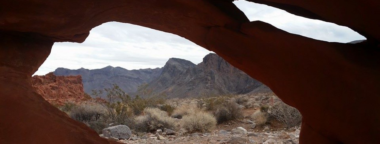
…and now for Your Photo Tour


All good things must come to an end…

The end…
The Wrap-Up
As I have said many time- I LOVE a destination hike. The ruins are amazing! It’s trippy to see buildings buried up to their 2nd stories by remnants of the lake bed floor. Truly a wonderful place to explore!
Walk along the “Riverbed” and pass the school. Stop for a moment and listen to the wind…you can practically hear the children voices riding the breeze.
…and now for something completely ARTSY

